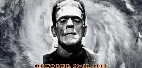
Hurricane Sandy’s interaction with an approaching trough and cold front from the west looks like it will provide a near repeat of the infamous Perfect Storm event, almost exactly 21 years to the day that the Andrea Gail was lost on October 28, 1991.
Hurricane Sandy’s “attempted” path would be to recurve off the East coast and head out to sea, as most East Coast hurricanes do. But the chance timing of the approaching upper level trough and cold front, which would favor some amount of coastal storm development anyway, will merge with Sandy and drag her back to a landfall somewhere (it appears at this point) from Chesapeake Bay to Long Island.
The instability caused by the clashing cold air mass and the warm, moist tropical air associated with Sandy will create a massive nor’easter, and the resulting storm has already been dubbed Frankenstorm Sandy since it will ruin Halloween trick-or-treating for many in the mid-Atlantic states and New England.
The high wind field will cover a large area, with highest winds not necessarily near the low center, since this will not be a hurricane per se. Large, probably record-setting amounts of rain can be expected in some localized areas wherever atmospheric lifting becomes maximized and persistent.
Wet snow can be expected on the western periphery of the storm, which right now looks to be from West Virginia through western Pennsylvania and extreme western New York state.
A 100-Year Storm?
Some are already saying this will be a 100-year storm. But this is a rather meaningless term. If it means the worst storm to hit New England in 100 years, I would doubt that will be the case, since there have been many epic nor’easters.
It is more likely that a few locations will see 100-year class precipitation totals, or maybe record low barometric pressures, and maybe even record high wind speeds.
Nevertheless, the formation of this particular storm will indeed be unusual, owing to the unusual combination of both a pre-existing tropical hurricane with extratropical cyclogenesis. There is little doubt that the resulting storm will indeed be historic, if not a record-setter, in its geographic extent and intensity.

 Home/Blog


