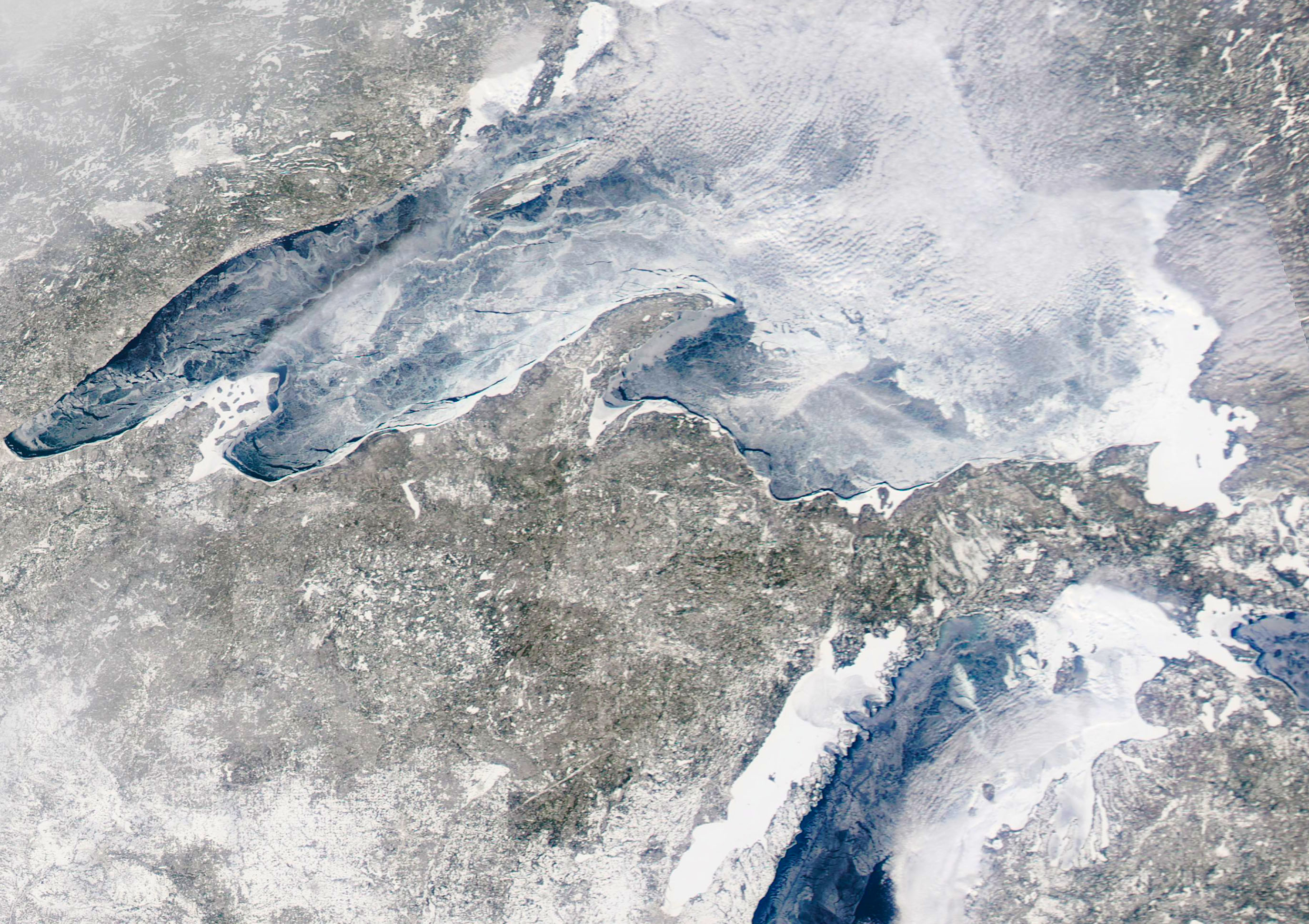
Yesterday’s NASA MODIS imagery from the Terra and Aqua satellites revealed relatively cloud free conditions over Lake Superior, which is unusual since the cold air sitting over the relatively warmer ice and water causes almost continuous cloud formation. Here’s the Aqua MODIS true-color image, which I’ve enhanced somewhat (click for large version):

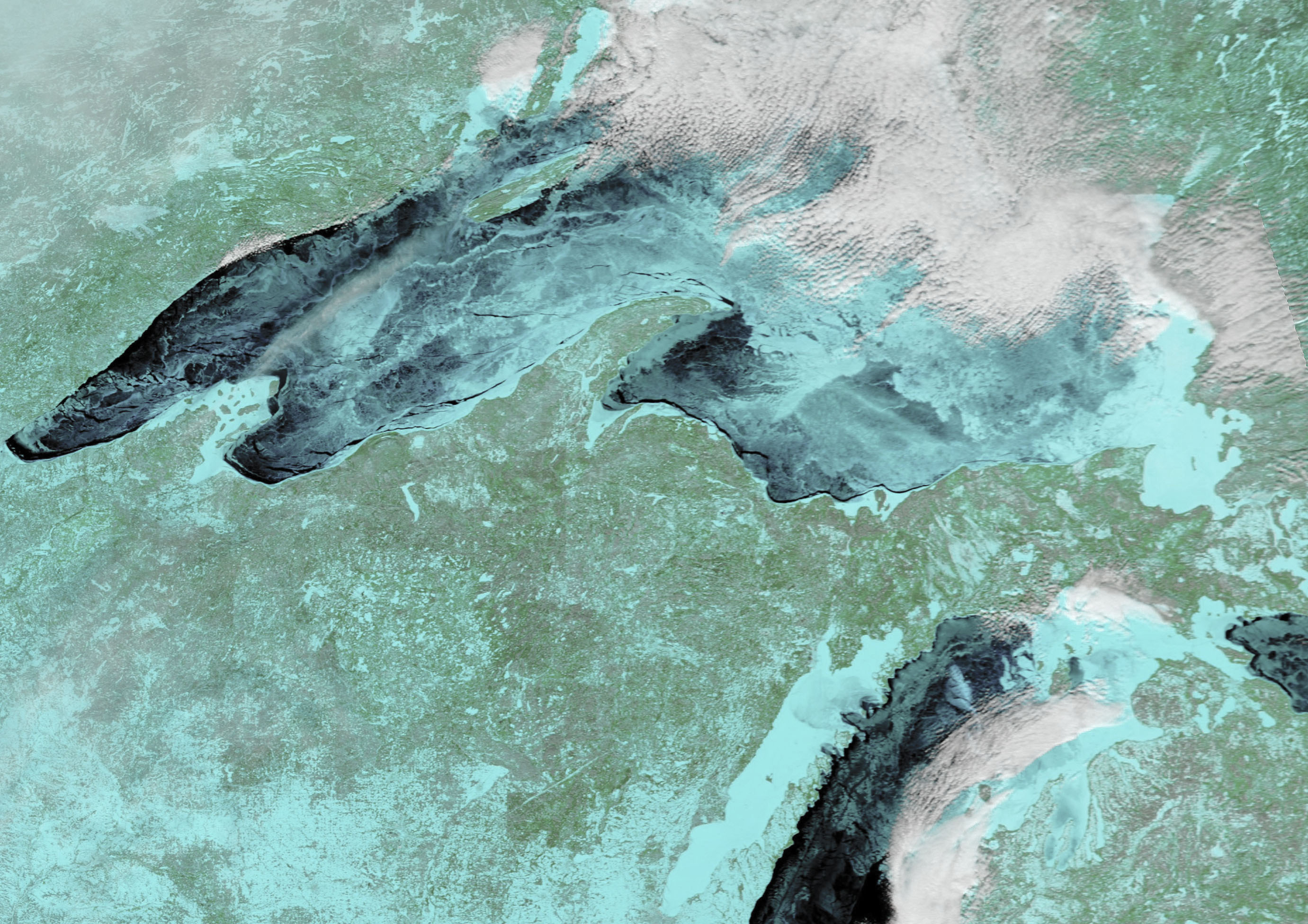
The MODIS “721” color enhancement product does a better job of distinguishing between clouds and ice (click for large version):

Note that it is difficult to distinguish between open water and new ice formed during low wind conditions, which is relatively clear.
GLERL’s model analysis suggests about 94.3% ice coverage of Lake Superior today, and some lake watchers are forecasting complete coverage in the near future.

 Home/Blog


