
 Home/Blog
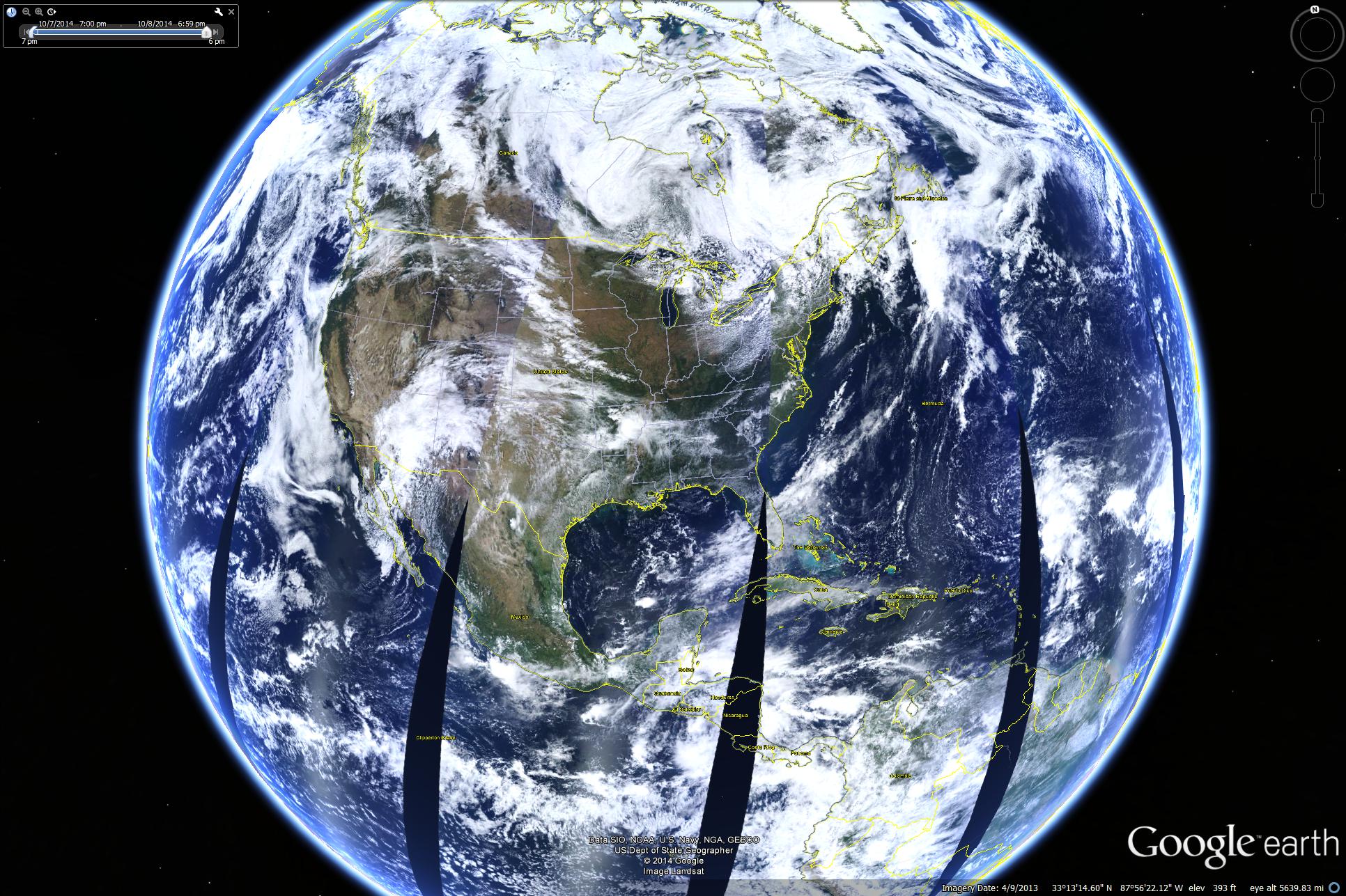
NASA Terra MODIS imagery from Oct. 8, 2014 mapped into Google Earth (click for large version).
Since you folks paid for it, you might as well know how to use it….
You can access the latest (or any previous day’s) MODIS data from either the Aqua or Terra polar-orbiting satellites, import it into Google Earth, and make your own Big Blue Marble.
I didn’t know how to do this until recently. I had to ask in a NASA meeting we were having, and even the knowledgeable people present had to ask someone else.
1) go to the MODIS Worldview website
2) choose the month and day (along the bottom)
3) choose either the Terra or Aqua satellite (upper left)..they sample 3 hours apart, nominally 10:30 a.m. and 1:30 p.m.
4) click on the camera icon (upper right) for downloading data,
5) choose a resolution (I chose 5 km for a quasi-global image, 250 meters would be for a smaller region…there is a filesize limit involved here)
6) resize the “camera window” to get the area you want
7) choose KMZ for the Google Earth file format, and click “Download”
After the file downloads to your computer, you should get a prompt to open the file in Google Earth (downloadable here). Then, you can use all of the other Google Earth functionalities to cruise around the world.
The highest resolution available is 250 meters, so don’t expect to see streets and trees like the high-resolution aircraft imagery in Google. At best, you can pick out some interstate highways. But what you get is daily data, with today’s data only a few hours after it is collected.


