The latest NASA MODIS satellite imagery from today shows that the huge Baiji oil complex continues to burn as the Islamic State torches the facilities there.
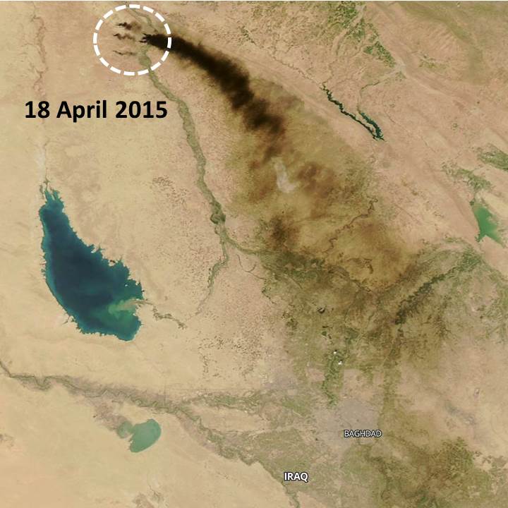
The MODIS thermal infrared sensors first indicated fires there on April 11, and by April 18 the black clouds of smoke had drifted almost 300 miles, well past Baghdad:
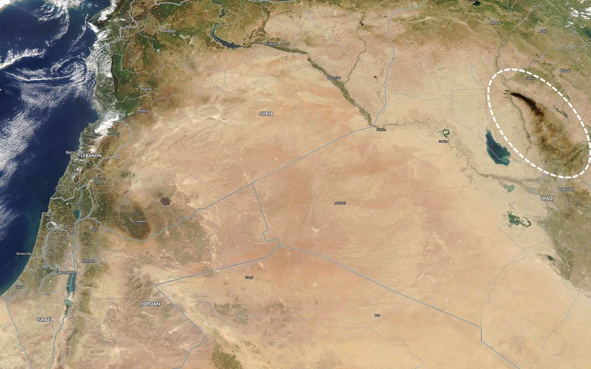
To give some idea of the size of the smoke cloud, here’s a wide angle view from April 18 stretching from Israel and the Mediterranean Sea to Baghdad (click image for full-size):
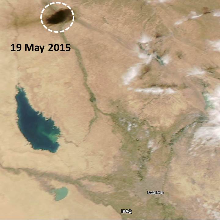
Here’s today’s imagery (May 19, 2015); the size and extent of the smoke cloud changes daily depending mostly on wind conditions:
From what I’ve read, even if Iraqi forces regain control of the refinery, the complex is so expansive that IS can render it largely unusable by continuing to attack critical portions of the complex.

 Home/Blog


