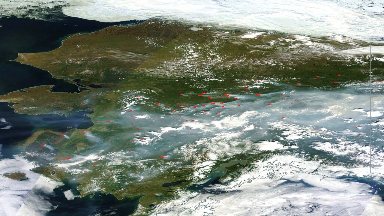
An unusually warm and dry spring has led to widespread wildfire activity in Alaska, with over 260 wildfires now reported and evacuations (some by boat) in progress. Fire crews are currently working only about 15% (three dozen) of those fires.
The NASA MODIS satellite imagery from yesterday shows the infrared satellite-indicated locations of fires, with pale blue smoke covering nearly half the state (click image for full size):

NASA MODIS satellite imagery of Alaska from 23 June 2015 showing infrared-sensed fire hotspots (red) dots from 260+ wildfires.
The warm dry weather is due to atmospheric high pressure anchored over the state, likely influenced by the strengthening El Nino and the persistent “warm blob” of water in the eastern North Pacific.

 Home/Blog


